1956 Twin Cities Mosaic
Georeferenced Historical Aerial Images
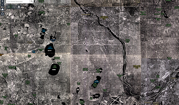
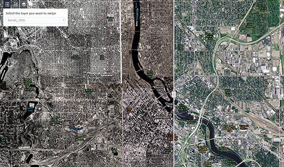
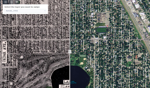
This web application used ArcMap and ArcGIS Online to show 1956 georeferenced aerials of Minneapolis and St. Paul. The objective of this project was to build a prototype in order to garner resources to launch a larger project to georeference historical aerial photos of multiple years for the entire seven-county Twin Cities metropolitan area. I had to find the best practices for georeferencing the images without distortion, publishing the aerials, as well as create an appealing web application.View the 1956 Aerials web app here
Software: ArcGIS for Desktop, ArcGIS for Server, ArcGIS Online