Minnesota Historical Aerial
Photographs Online
Historical Aerial Indexing of Minneapolis
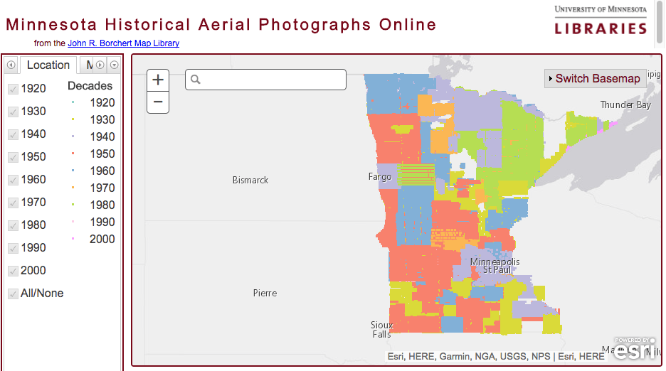
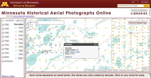
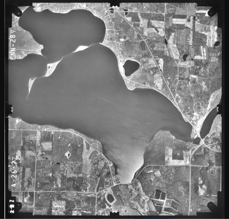
Minnesota Historical Aerial Photography Online (MHAPO) supplies users to over 121,000 copies of digitized aerial photos across the state. I created a methodology for digitizing of historical aerial photograph indices for Minneapolis from 1938–1993 for both ABCD as well as NCS index formats. The purpose of this project was to provide users access to Minneapolis aerial images. After using a combination of geoprocessing tools in ArcMap (e.g. Fishnet, Feature to Point), I published the feature layers to the ArcGIS server. I then developed the Minneapolis Tab to hold the indices for the MHAPO interface. Click here to view MHAPO
Software: AcrGIS for Desktop, ArcGIS for Server, HTML, CSS, ArcGIS for JavaScript, Python