Mapping Balzac’s Paris
Explored the Social Topography of 19th Century Paris
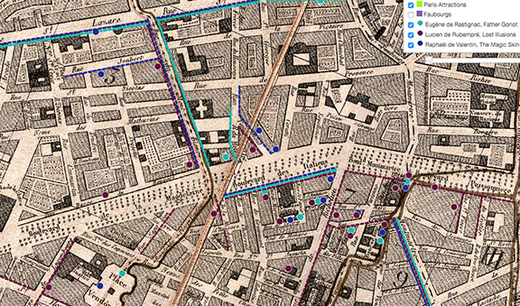
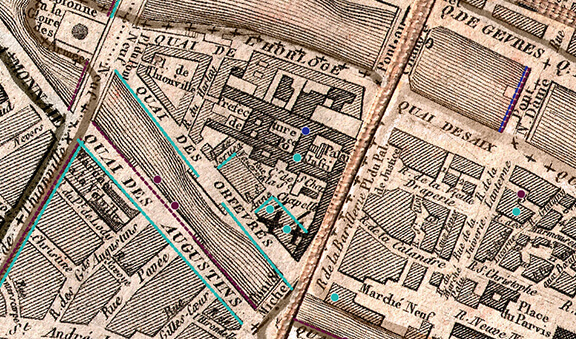
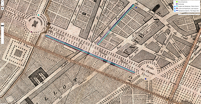
Through my graduate assistant position at the John R. Borchert Map Library, I was responsible for mapping geographic sites in Paris, referenced in three Balzac novels to detect patterns and decipher the subtext of the chosen localities. I datamined French versions of The Magic Skin, Father Goriot, and Lost Illusions, to identify geographic plot points and proceeded to geocode the place names and georeference a digital copy of an 1814 map of Paris.
I created an interactive web map to visualize key elements regarding the social topography of Balzac’s Paris, to assist students with understanding French literature as well as this historical period beyond what they might grasp through text analysis alone. Through graphic communication, this project exemplifies how mapping can prove useful when learning about literature and culture. View Mapping Balzac’s Paris’ progress here!
Software: Taporware, Voyant-Tools, HTML, CSS, ESRI/Leaflet API, ArcGIS for Desktop, ArcGIS for Server, and GitHub